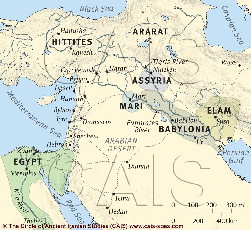
A map showing the location of major ancient polities of Mesopotamia, the Levant, and Egypt

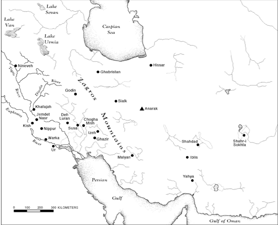
The Ziggurat of Chogha Zanbil

The aerial view of Chogha Zanbil/Al-Untash-Napirisha
 Topographic Map of Central and West Asia
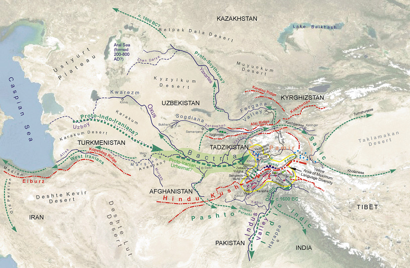 A detailed map of the possible migration routes of the Indo-Iranian tribes

I have two questions professor: 1) As indicated in the first map, was the body of water between Iran Plateau and Arabian Desert called “Persian Gulf” even before there was an empire by the same name? Also 2) from the second map, is can we use Euro-Persian instead of Indo-Iranian?
i love this podcast it is great to hear the names spoken by someone who is native to the area
ep 8 by getting to the suza and destroying the city and the burial sites of kings the city is destroyed The living did not keep the kings safe and the dead kings did not ward off the enemy